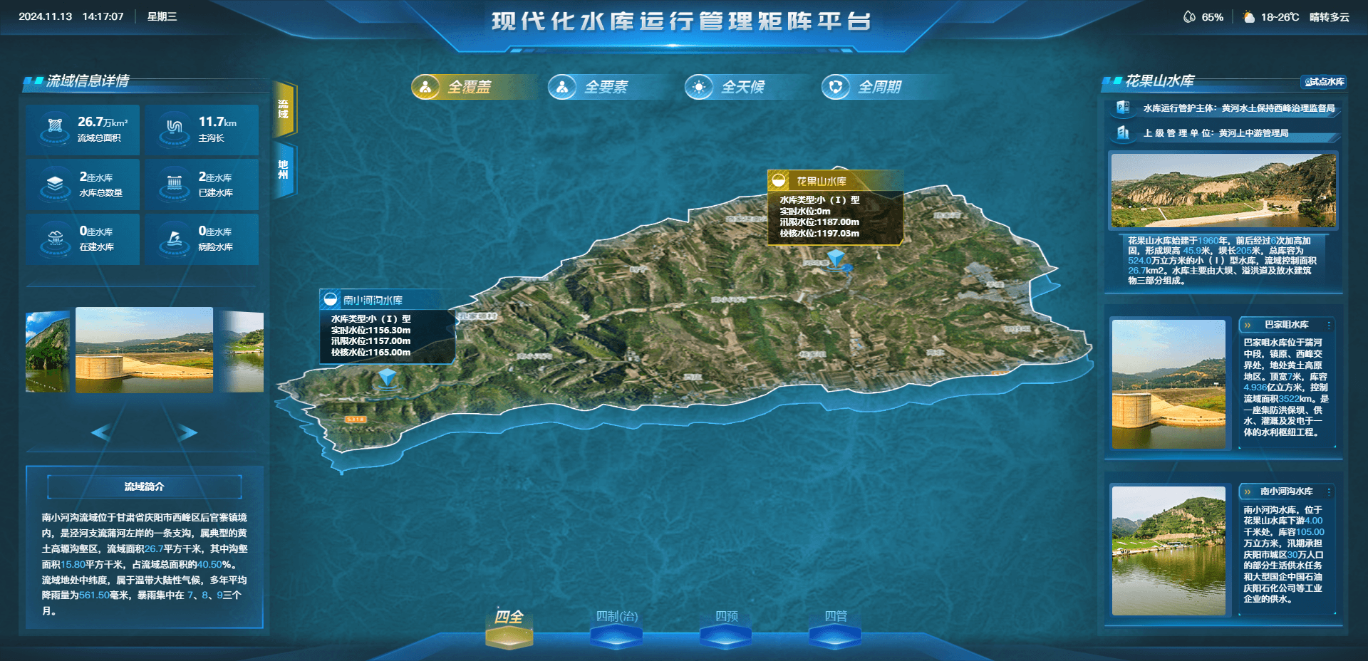
Monitoring & Warning Gaps
Water conditions cannot be tracked accurately, resulting in slow emergency response.
- Outdated monitoring methods
- Slow access to critical basin data
- Delayed warning notifications
Qiantong Technology
Digital intelligence for smarter operational transformation
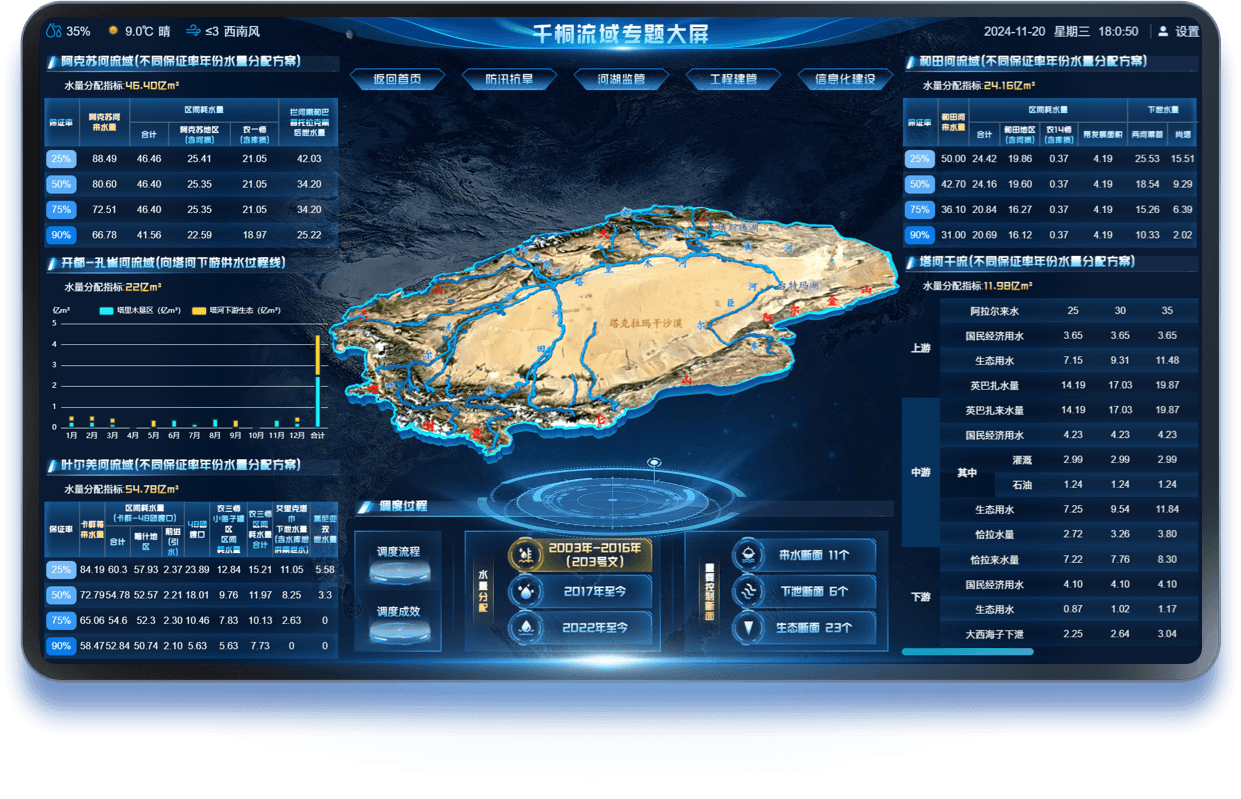
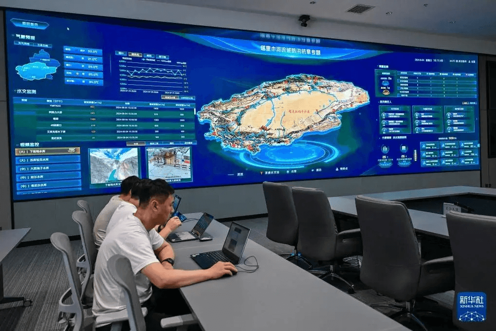
Qiantong River Basin Dashboard provides an integrated, intelligent visual foundation for command and coordination centers. It breaks down data silos, delivers precise real-time awareness of basin conditions, and supports unified cross-department command. Faster emergency response and reliable data strengthen water resource management, dispatch, ecological protection, flood and drought operations, and infrastructure management.
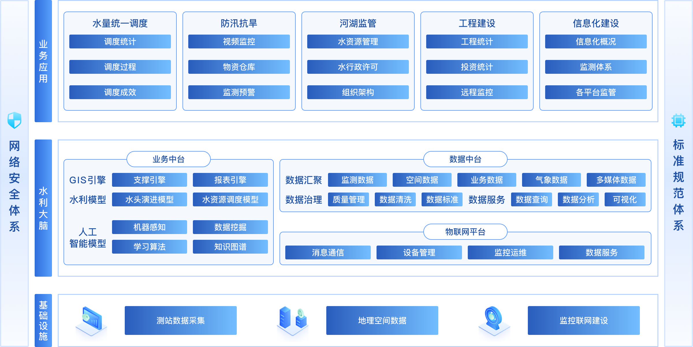
Comprehensive capabilities for a connected digital ecosystem
Understand industry needs and drive operational innovation
Water conditions cannot be tracked accurately, resulting in slow emergency response.
Disconnected data and workflows across departments slow collaboration and decisions.
Without accurate data or decision tools, dispatch plans often fall short of operational goals.
Current visual and interactive tools cannot meet diverse decision needs or explain complex data clearly.
One integrated solution for more efficient basin operations
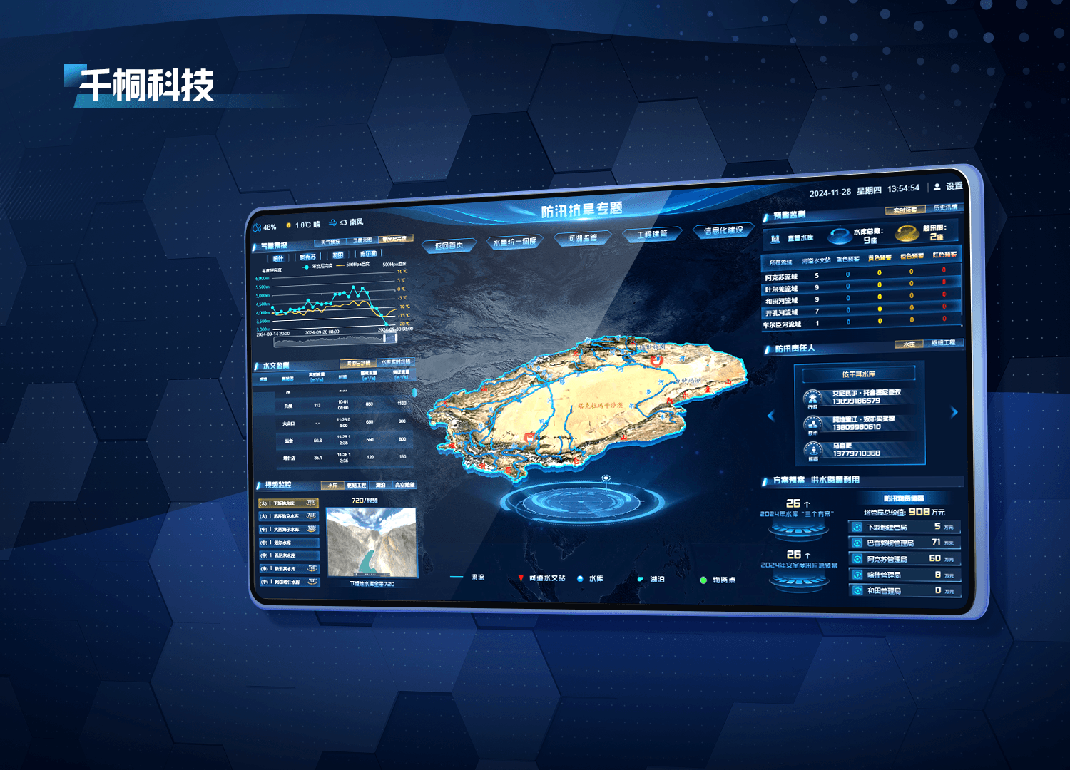
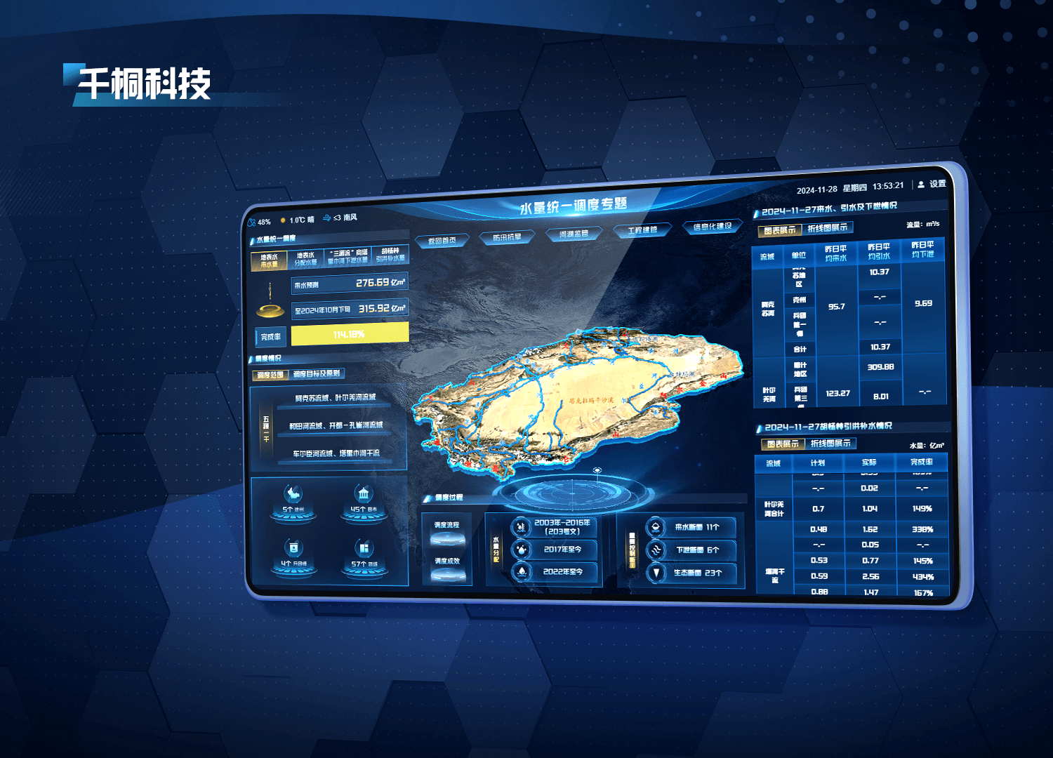
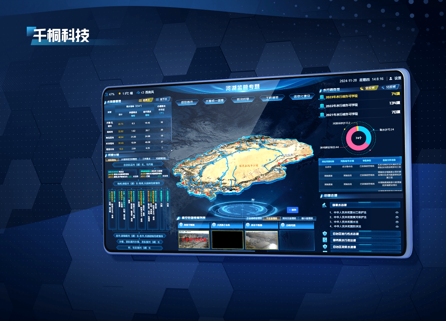
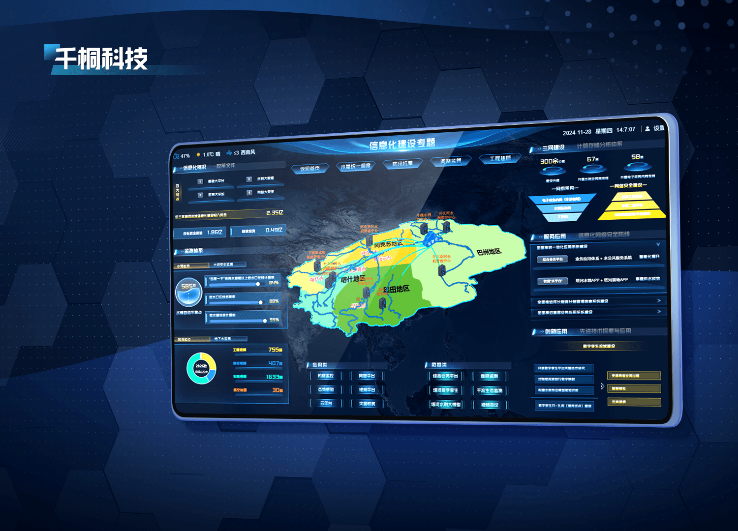
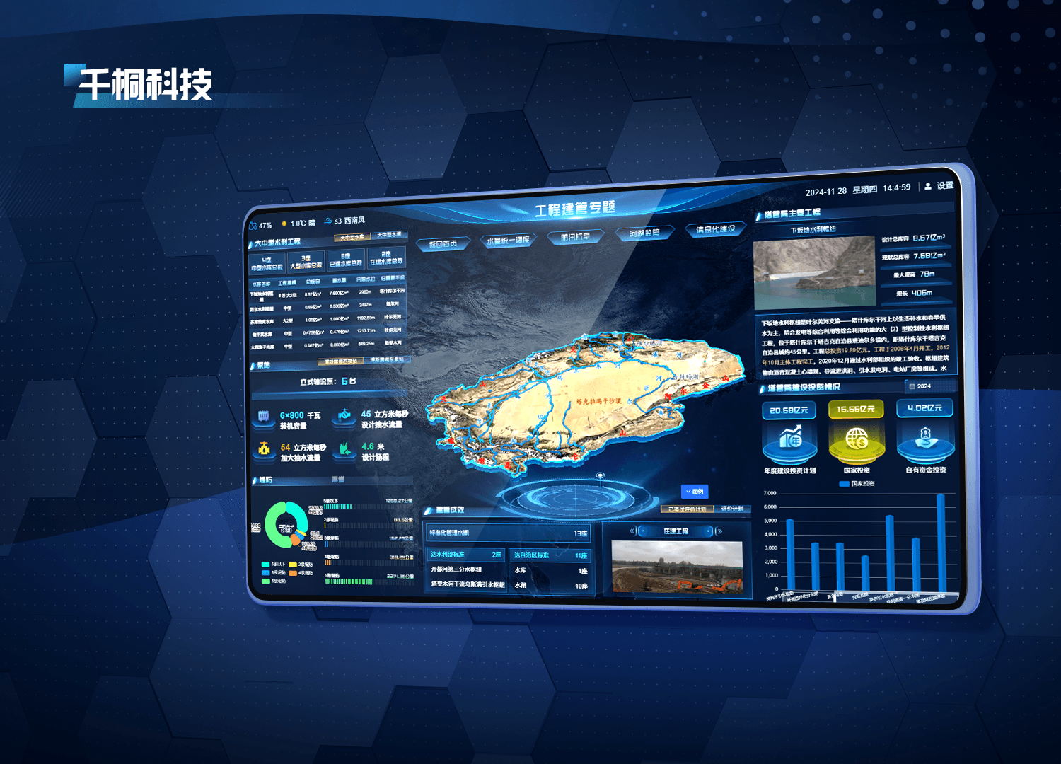
Demand-led and digitally empowered
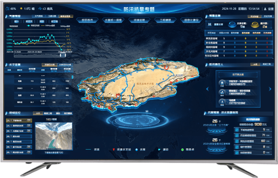
Maintain a complete, up-to-date view of basin assets and conditions for precise management.
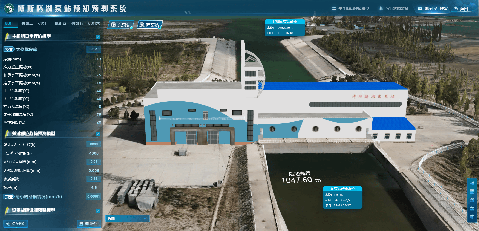
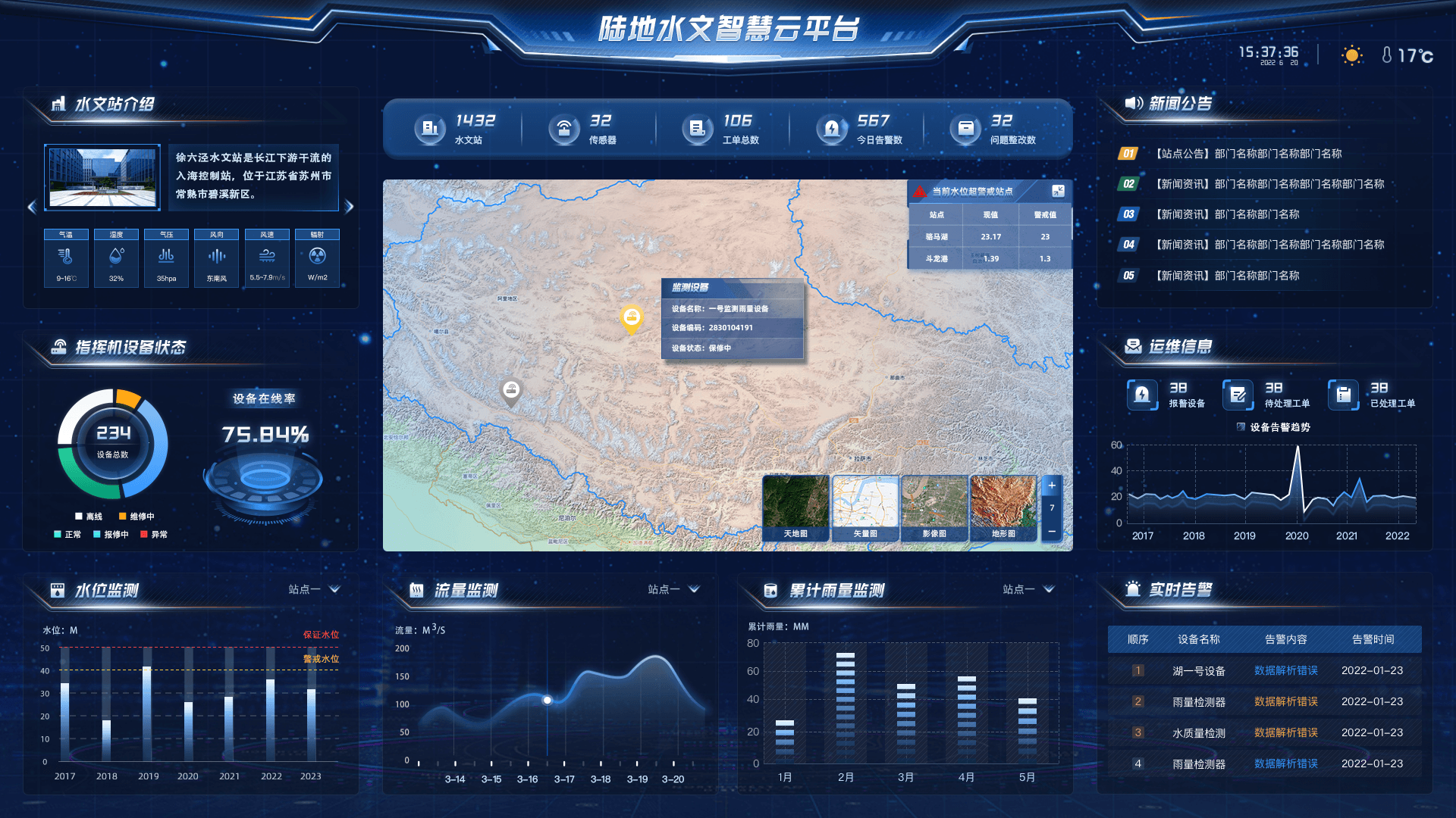
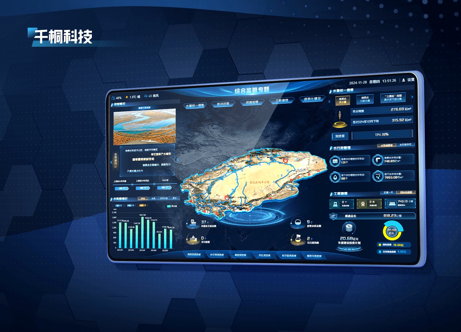
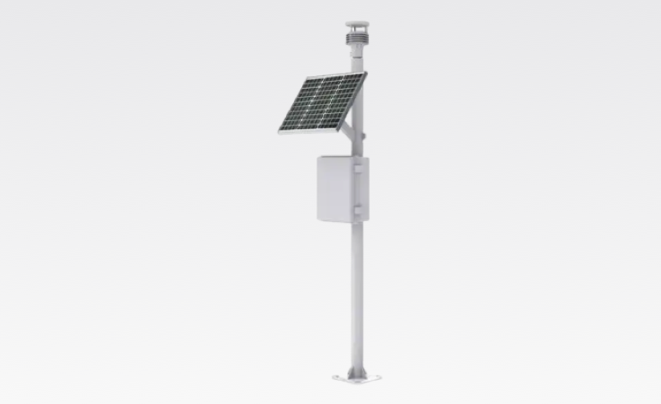
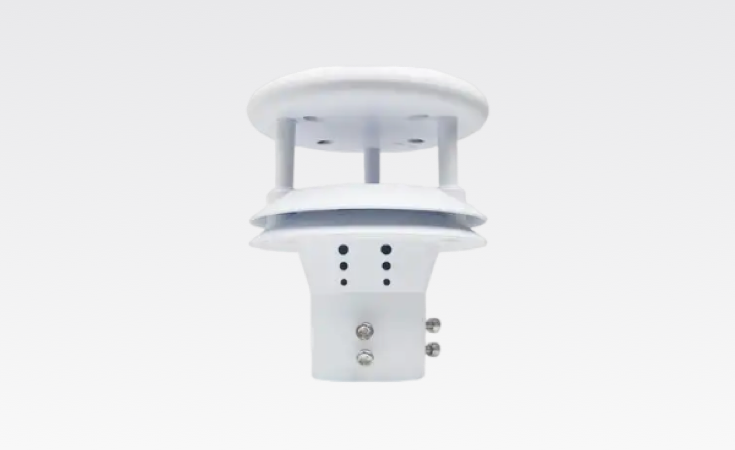
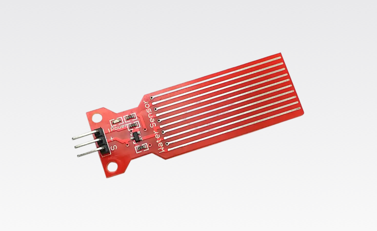
Visualize the location, extent, type, and status of rivers, lakes, reservoirs, power stations, and major hydropower sites. Integrated sensors continuously update water level, flow, rainfall, and water-quality data, keeping basin information timely and accurate.
Contact Us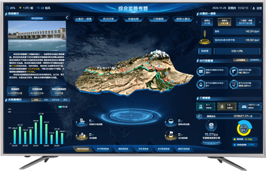
Turn complex data into clear visuals for faster understanding and analysis of basin conditions.
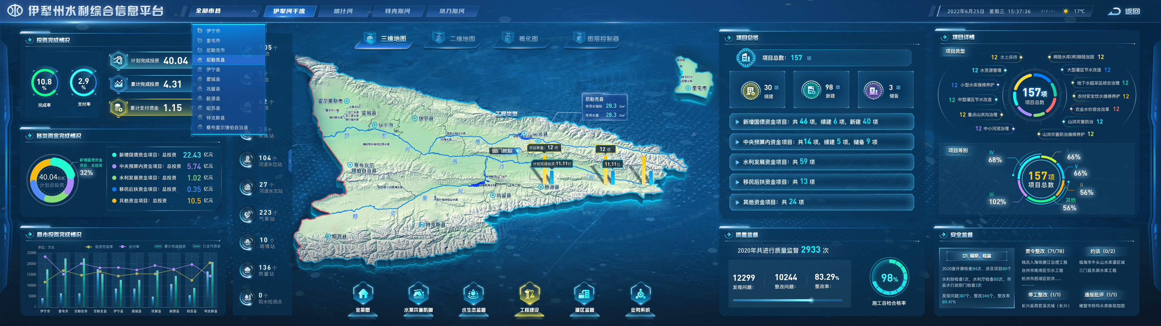
Combine hydrology, weather, water resources, flood and drought, irrigation, drainage, infrastructure, and aquatic ecology. Charts, imagery, and animation turn complex datasets into intuitive views, helping teams understand basin-wide conditions and trends.
Contact Us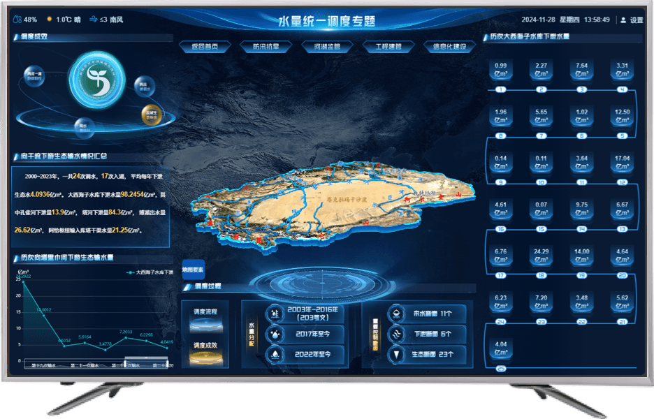
Use deep analytics to support flood and drought operations, risk assessment, and related decisions.
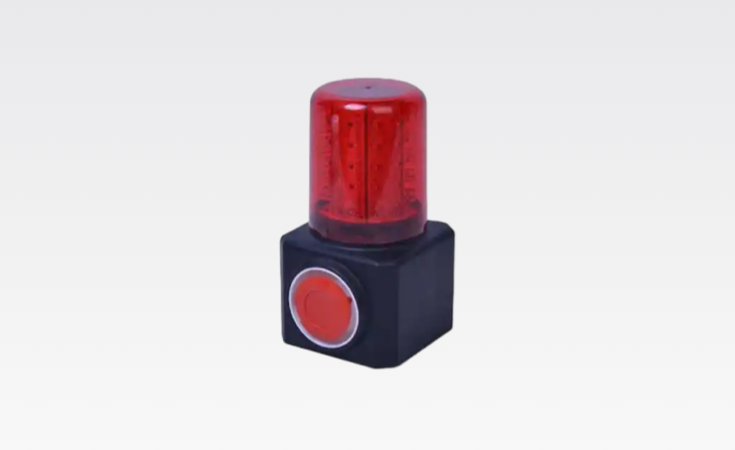
Big-data analytics and machine learning track changes in water level, discharge, and velocity to identify emerging risks. When thresholds are reached, the dashboard issues alerts and combines flood-dispatch and water-allocation plans to support flood and drought response and risk assessment.
Contact Us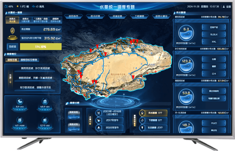
Share information across departments and levels for faster, more effective emergency response.
Live monitoring and analytics identify flood, drought, and other water risks. The dashboard maps emergency resources and response plans, giving command teams a common operational picture and enabling coordinated action across departments and administrative levels.
Contact Us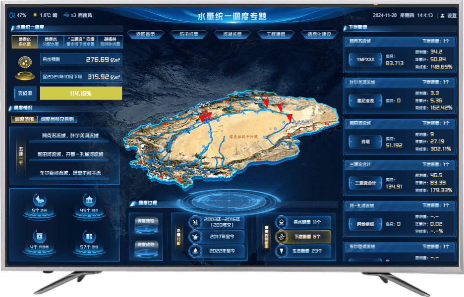
Interact with live views to track the latest conditions and trends and make timely decisions.
The dashboard receives and displays new information in real time. Touch, click, and swipe interactions let users explore details, perform deeper analysis, and stay current with changing basin conditions and trends.
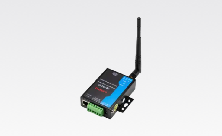
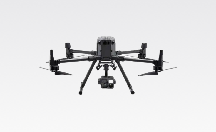
Contact UsSmart devices for efficient basin operations

Trusted by organizations, backed by our commitment