Complex Scenario Setup
Water systems combine complex spatial data, changing conditions, and specialized tools.
- Complex 4D analysis
- High expertise needs
- Demanding live updates
Qiantong Technology
Data and intelligence drive organizational transformation and modernization
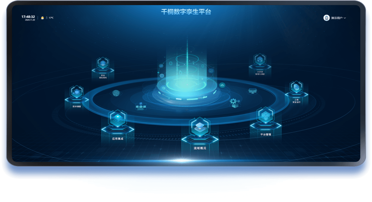
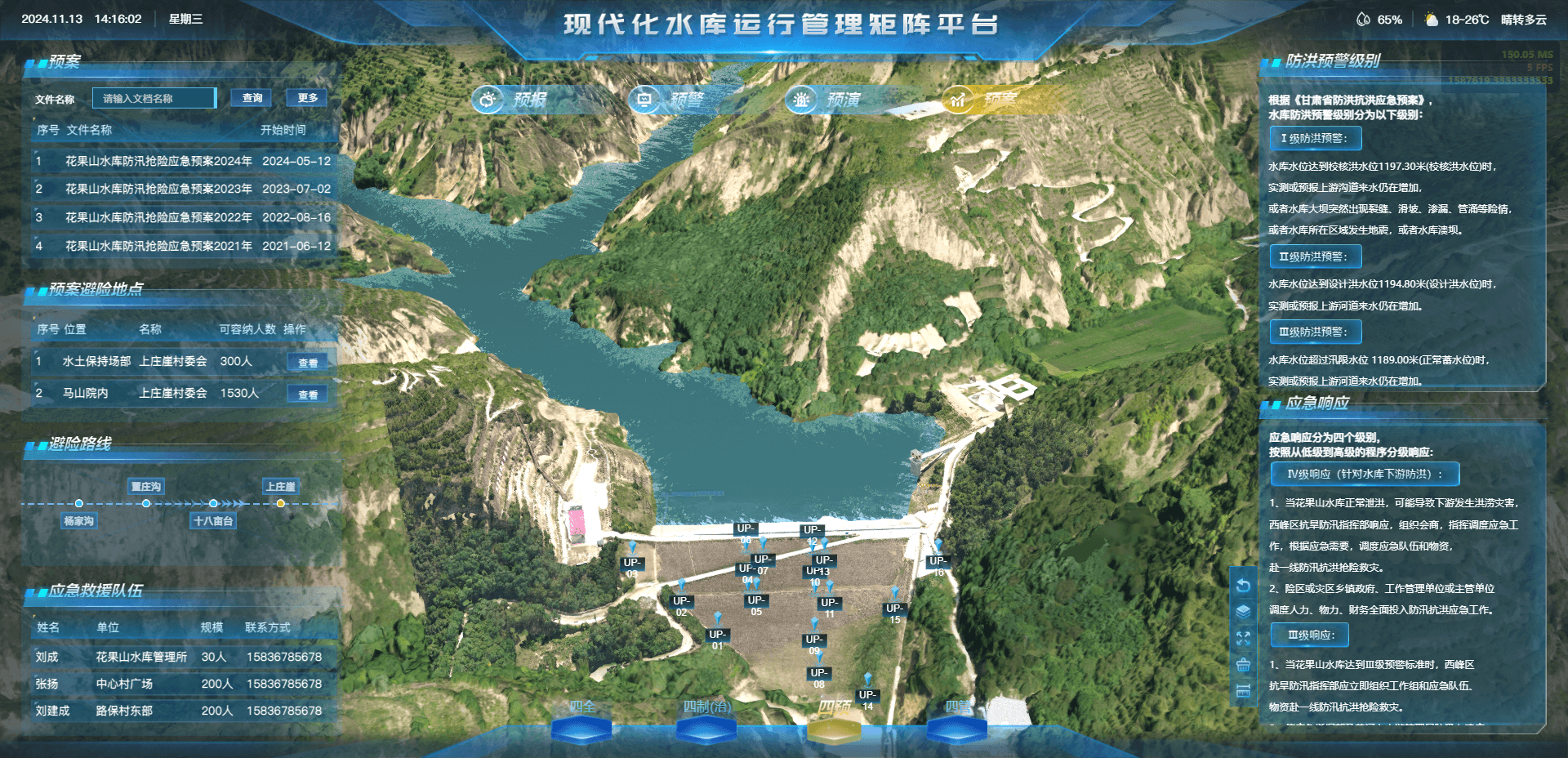
The Qiantong Digital Twin River Basin is built around a unified data foundation, shared support services, a model library, and a knowledge base. It maps and simulates water management for basin-wide awareness and dispatch control. The platform supports precise allocation, coordinated multi-hub dispatch, forecasting, early warning, simulation, contingency planning, disaster mitigation, and safe, sustainable operations.
Comprehensive digital capabilities for a connected operational ecosystem
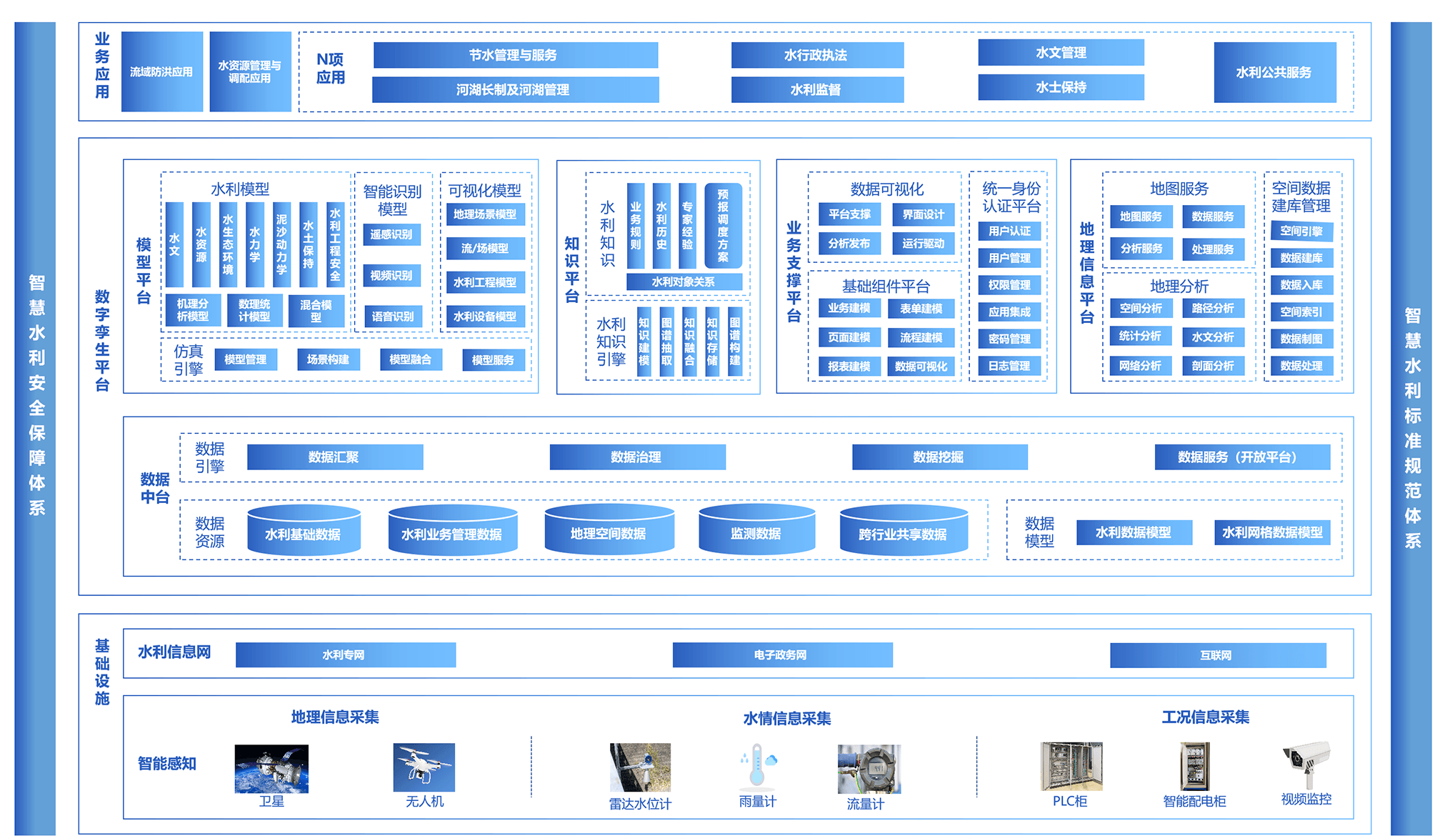
Understand industry needs and drive operational innovation
Water systems combine complex spatial data, changing conditions, and specialized tools.
Massive multisource data and inconsistent standards reduce performance and simulation quality.
Conflicting requirements and stakeholder coordination make implementation difficult.
Models lack operational accuracy and are difficult to update and maintain.
A one-stop solution for lower costs and greater operational efficiency
Demand-driven and digitally enabled
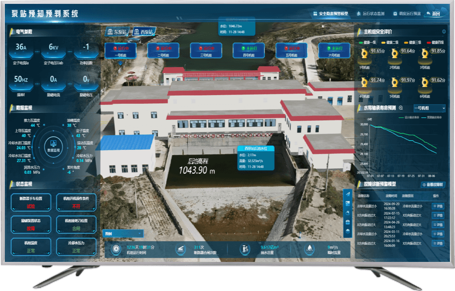
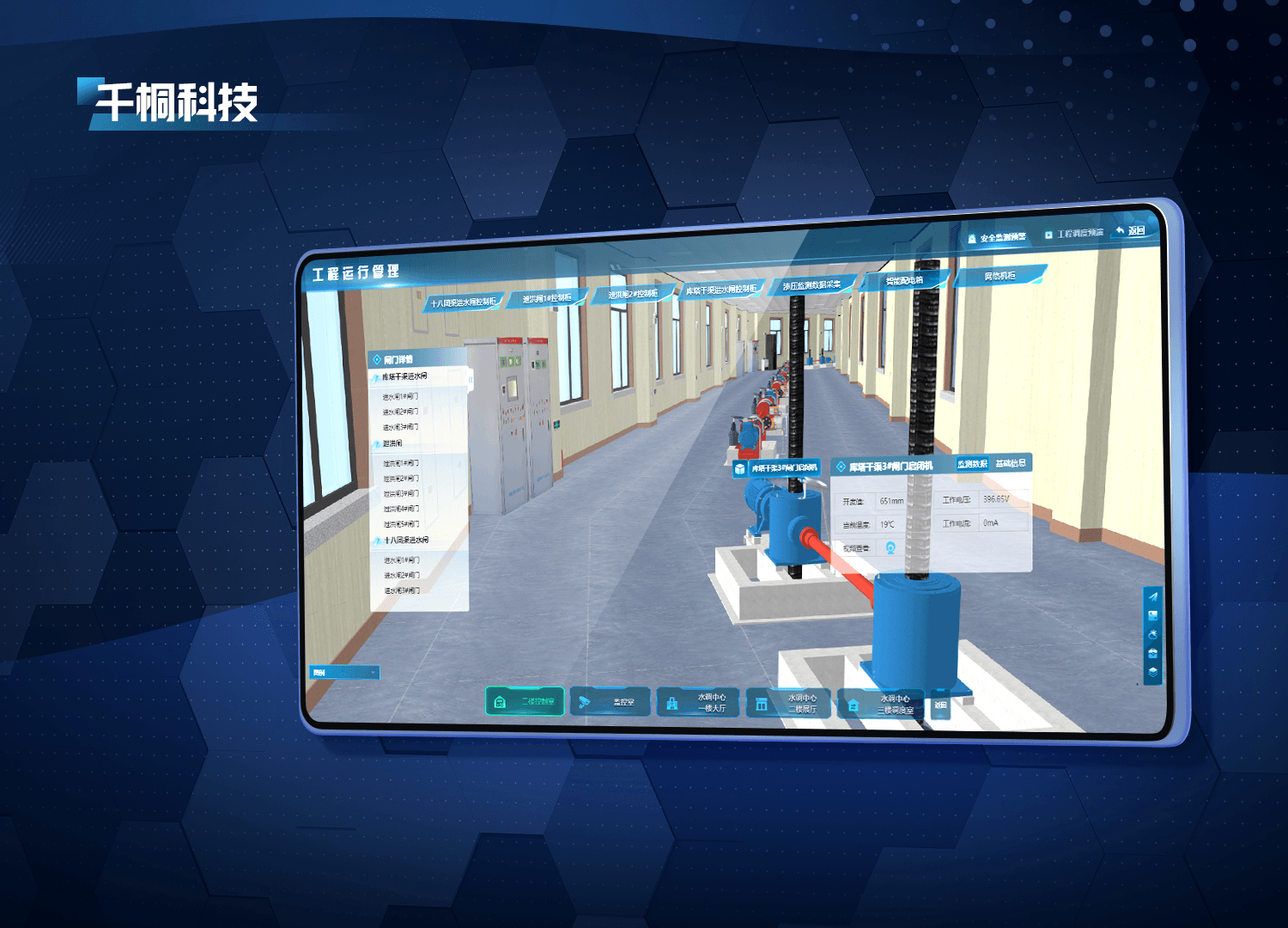
Spatial indexing precisely aligns IoT sensing data with 3D models.
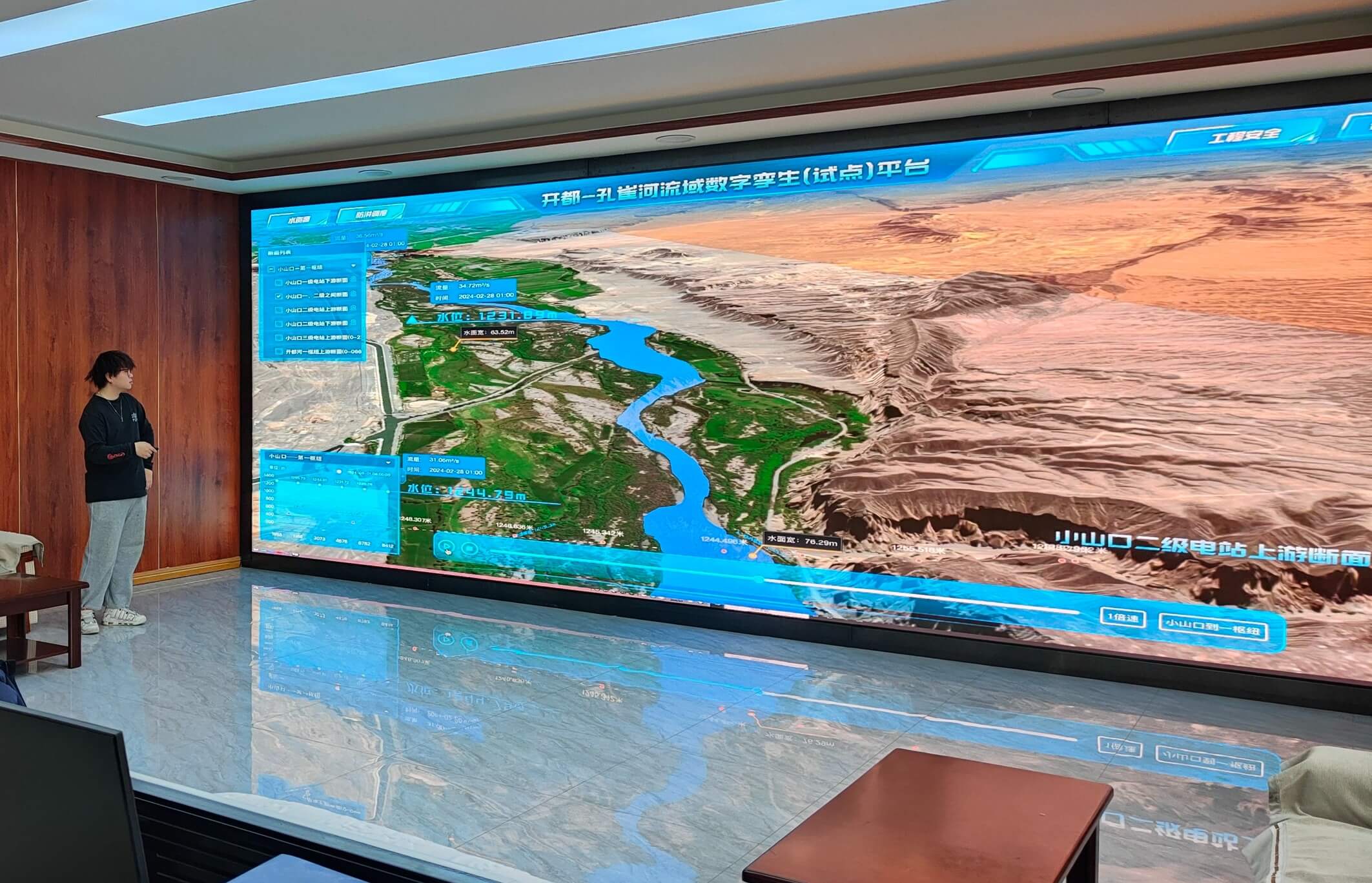
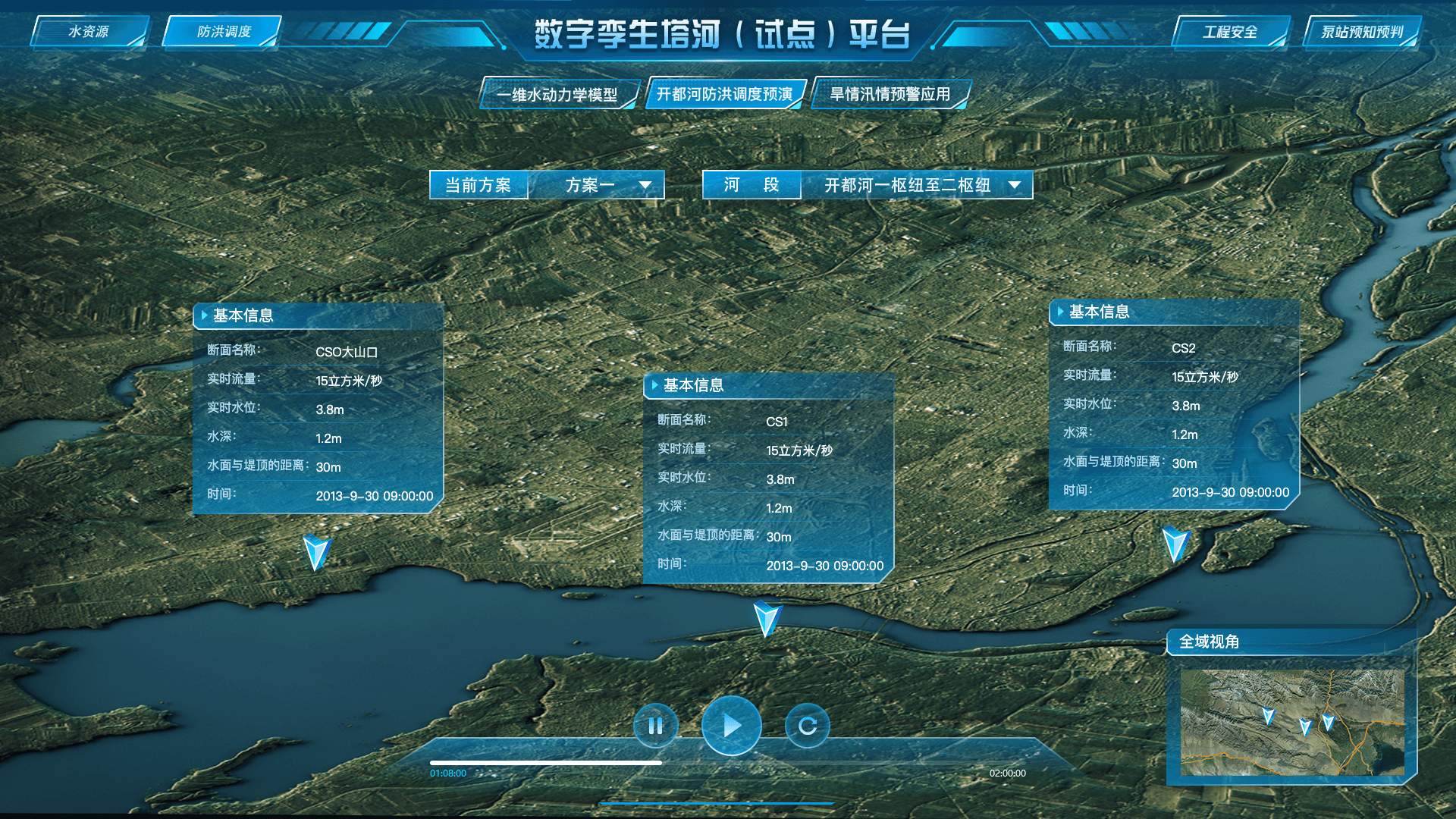
Spatial indexing precisely matches IoT sensing data to 3D models and ensures accurate geolocation. The model displays water-level changes and flow distribution, while interactive queries provide detailed data for any selected location.
Contact Us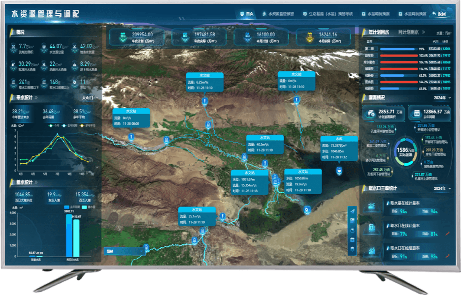
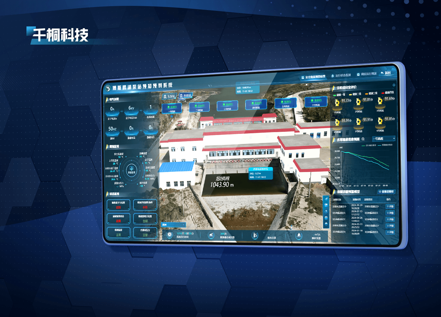
Integrate multidimensional sensor data for unified management and analysis.
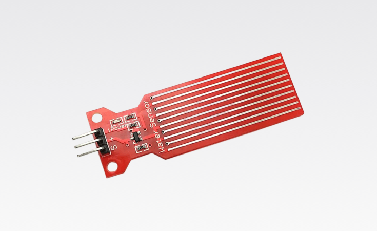
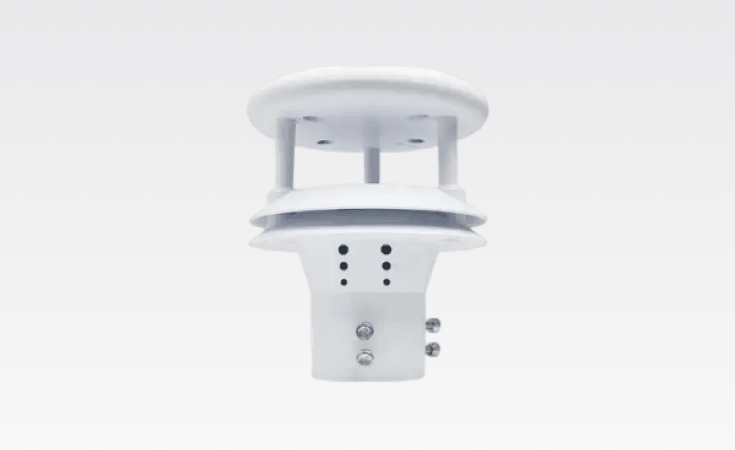
Sensors collect hydrological, water-quality, and meteorological data across the basin in real time. Preprocessing improves accuracy and consistency, while unified storage, formats, and standards enable seamless interoperability.
Contact Us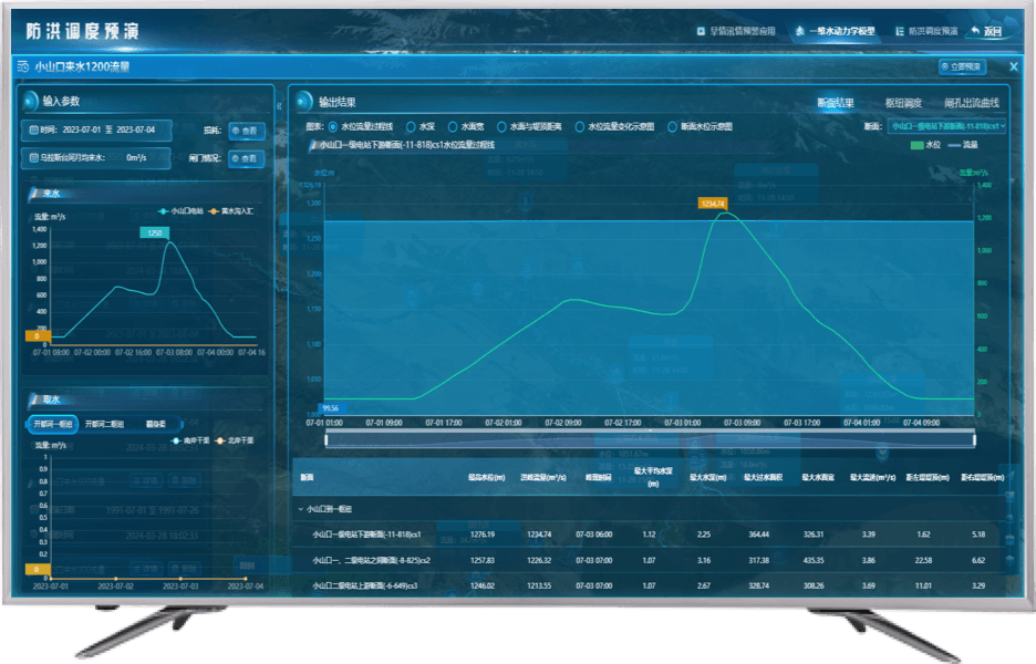
Apply machine learning and AI to extract valuable insights from massive datasets.
Extract water-level trends, peak flows, water-quality indicators, and hidden patterns. The platform detects sudden floods and water-quality anomalies, issues alerts, and forecasts future levels and flows for evidence-based decisions.
Contact Us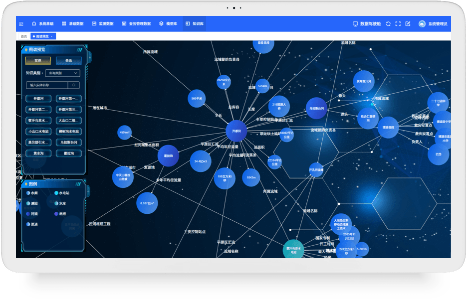
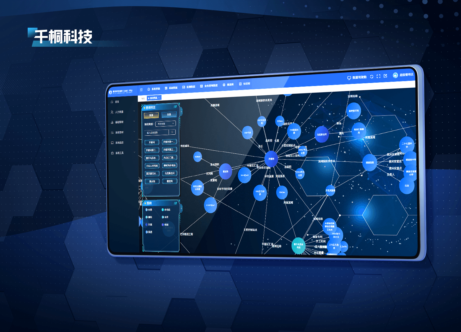
Connect and integrate data from multiple sources into a complete data lineage.
Link multisource data and visualize relationships such as water levels and rainfall. Complete lineage from acquisition through processing and analysis preserves data integrity and accelerates queries.
Contact Us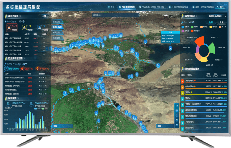
Real-time acquisition and updates keep models and data current.
Synchronize collected data to the central database and 3D models so every device and platform receives current information. Continuous monitoring detects anomalies and supports stable operation.
Contact Us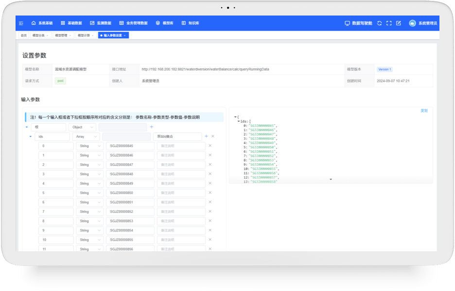
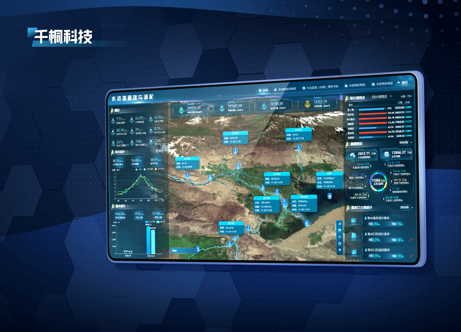
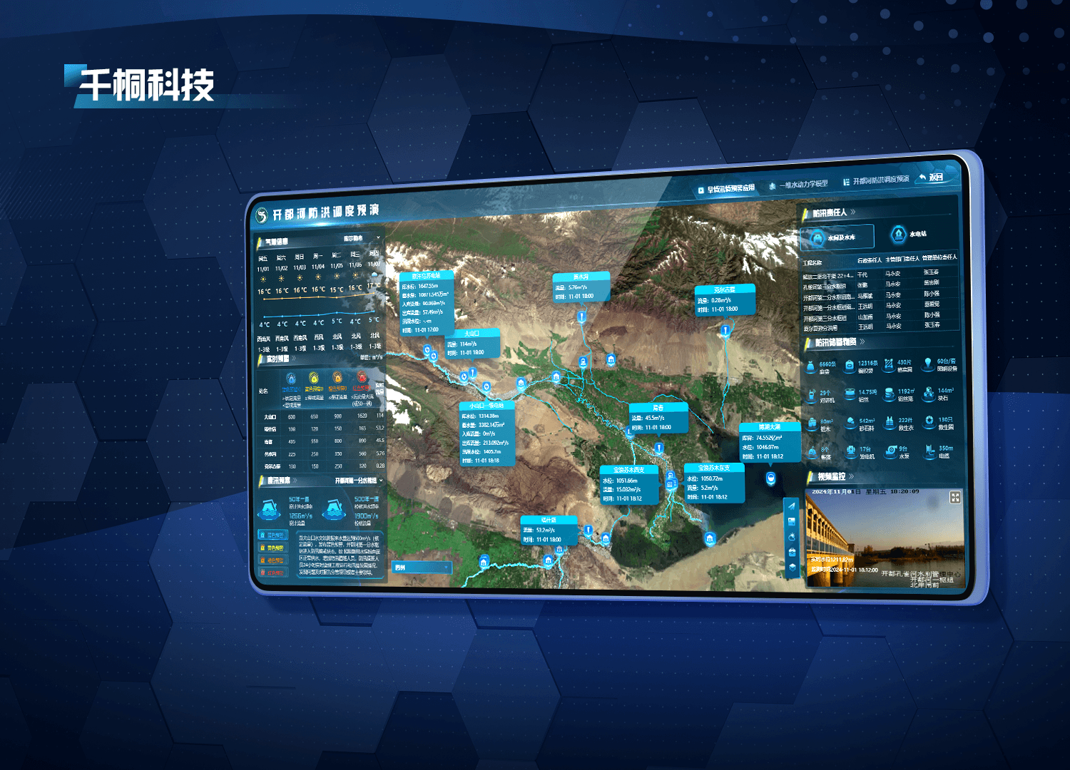
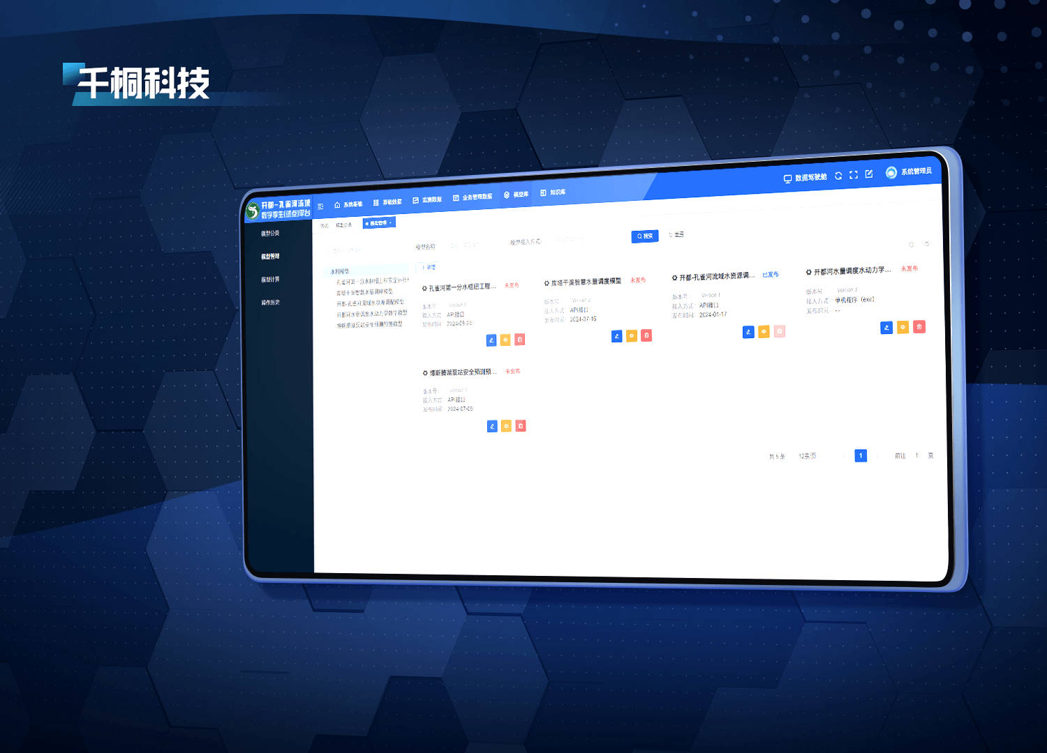
Integrate specialized models for intelligent basin management, allocation, flood control, and infrastructure dispatch simulations.
Model integration, version management, precise configuration, and real-time monitoring support efficient execution. Adjustable parameters enable detailed simulations for different operational scenarios.
Contact UsFuture-ready intelligent devices for more efficient operations
The trusted choice for organizations, backed by a commitment you can rely on